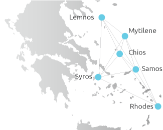
The Geographical Data Depository was developed within the horizontal act “University of the Aegean Digital Library” which was funded by the European Regional Development Fund’s 2007-2013 (ERDF) operational program “Digital convergence” and which is an advancement of the digital maps service of the Library and Information Centre of the University of the Aegean.
The Geographical Data Depository aim is to support, organize, document, process, analyze, search, depict and distribute spatial data which are produced or used by the university community. It consists of a Geoportal (realized through ESRI Geoportal Extension) which incorporates services for
- deposit
- documentation
- search
- preview and
- download of geospatial data
The aim of this service is:
- the development of a uniform base for geographical data for the University of the Aegean Departments to prevent the collection from duplicate data in different parts of the institution,
- the publication of geographical or geo-referenced data accumulated through years of research and educational activity of the University of the Aegean
- the safeguard of the quality and the uniformity of geographical data produced by the University’s Departments.
The Geographical Data Depository is functionally interconnected with the “Infrastructure of Spatial Data of the University of the Aegean” project implemented by the Department of Geography.
To access the searching, previewing and downloading of geospatial data services, please visit the Geoportal at the following link:


