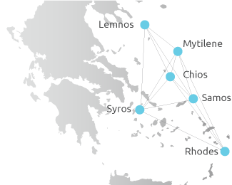
The “Electronic Interactive Atlas of the Aegean Sea” service of the University of the Aegean Library was developed in the second half of 2008 within the framework of “Upgrading the University of the Aegean Library” project, which was co-funded by the European Union and National Funds.
The service is a digital collection of thematic maps of the islands of the Aegean Archipelagos. The digital maps depict both physical and human geography of the islands of the Aegean Sea and are part of a complete application that supports user interaction.
The development of the geographical content and interactive mapping application was based on Talent Cruiser™ (http://www.cruiser.gr), a platform that offers innovative internet-based services that make use of geographic space, cartographic data and location-aware information.
The thematic maps of the Atlas of the Aegean Sea are available to users through a “channel”. After having selected the available “channel”, users can, among others applications, navigate over 3D landscapes and browse maps, inspect geographical features, search and locate geo-coded information, graphically define spatial filters and perform structured queries, create and embed personal geo-coded content, share data and collections with others, personalize the views and print customized maps.
Talent Information Systems S.A. undertook the development of the “Electronic Interactive Atlas of the Aegean Sea” in cooperation with the Scientific Staff of the Central Library of the University of the Aegean and Dr. Nikolaos Soulakellis, Assistant Professor and former Chair of the Department of Geography of the University of the Aegean.


